Protecting land and water in Canada from invasive species
Thank you to everyone who tuned into this year’s Annual Invasive Species Forum! It was a jam-packed three days of presentations on invasive species research, management, and community action.
If you missed any sessions or want to rewatch them, check out the recordings here.
Learn about
invasive species
Get technical
information
EDDMapS is a web-based mapping system for documenting invasive species distribution. It is fast, easy to use and doesn’t require Geographic Information Systems experience. EDDMapS’ goal is to maximize the effectiveness and accessibility of the immense numbers of invasive species observations recorded each year, and you can help by reporting sightings of invasive species!
*Reports input into EDDMapS Reporting System
This useful tool provides an open record of completed risk assessments relevant to North America. The database currently includes publicly available risk assessments completed by a range of government and non-government organizations.
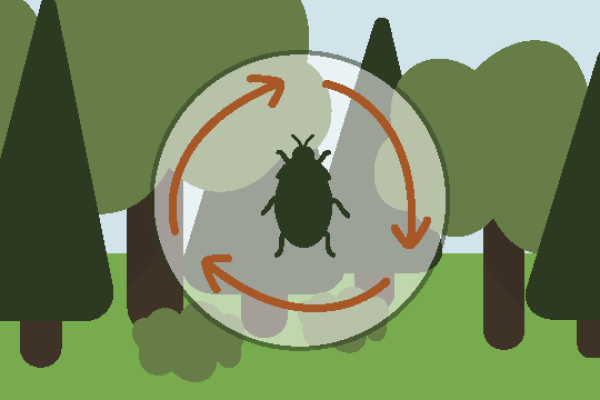
Our vision is a Canada where land and water are protected from invasive species.
Our mission is to connect stakeholders, knowledge and technology to prevent the introduction and spread of invasive species that harm Canada’s environment, economy and society.
Our values:
- Collaboration – drawing on all stakeholders to achieve success
- Credibility – using a consistent, evidence-based approach
- Professionalism – maintaining dedication to excellence in management and delivery
- Efficiency – filling gaps and reducing overlap wherever possible
- Sustainability – helping natural resources last for future generations
The following information below is for the mobile homepage
Protecting Canada’s land and water from invasive species
to our e-Blasts!

